
November 13, 2026
Connecting the Banks and Investors linked to Indonesia’s fires and haze crisis
By RAN
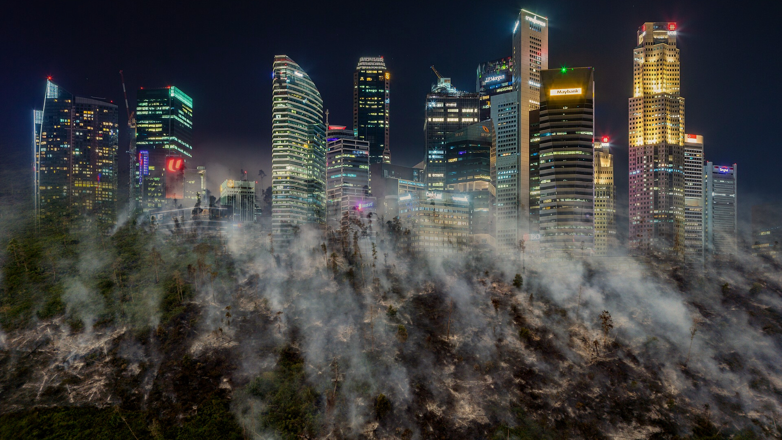
RAN and Nusantara Atlas connect satellite evidence of burned plantation concessions with billions of dollars from financial sectors, largely from Southeast and East Asia.
Friday, Nov 13 2026 — As Indonesia faces what is on course to become its worst fire season on record, a new data initiative from Rainforest Action Network (RAN) and The TreeMap reveals the financial connections behind the fires by linking plantation-level geospatial data of burned areas to the banks and investors financing the business groups operating these plantations.
An estimated 2.9 million hectares burned across Indonesia between January and October 2026, already exceeding the 2.6 million hectares burned area recorded in 2019- the worst year in the Nusantara Atlas burned-area monitoring record. While El Niño has intensified dry conditions, the underlying drivers of the crisis are familiar: years of forest clearance and peatland drainage for industrial palm oil and pulpwood plantations, backed by major financial institutions across Asia.
The new Fires and Finance tracking initiative brings together Nusantara Atlas spatial data on burned areas using an established methodology and plantation concessions with Forests & Finance Coalition data on corporate financing. The tool is currently in development, but its initial analysis of five fire-linked concessions already reveals significant connections between burned landscapes, major plantation groups and the financial institutions providing them with capital.
The findings reveal how the financial sectors in Singapore, Malaysia, Indonesia, Japan and China are connected to companies operating in fire-affected landscapes.
“Extreme fires and haze are a predictable consequence of deforestation and peatland draining by the plantation sector. Every dry season, millions of people across Southeast Asia pay the price, while the plantation companies and financiers the profits remain largely shielded from accountability- so the fire and haze cycle continues” said Alex Helan, Research & Investigations lead at Rainforest Actions Network. “The financial sector has the resources and leverage to fundamentally reshape the sector to reduce future burning and incentivise restoration of fireprone areas. This initiative will make the fire-finance connections visible to everyone, and makes it much harder for financiers to claim they don't know what is happening on the ground.”
“Banks scrutinise who receives their money, checking for links to terrorism and other illicit activities. The same scrutiny must apply to the environment: Is the banks’ money financing biodiversity and forest destruction, and air pollution?” said David Gaveau, founder of The TreeMap, which develops Nusantara Atlas. “Satellite imagery combined with concession maps reveals where land has burned and which companies manage it. Working with the Forest & Finance Coalition, we now put banks’ money on the map, linking their financing to plantation companies whose concessions have burned and produced toxic haze. While a burned area in a concession does not say who started the fire, companies are still responsible for what happens on their land, and banks now have the tool to investigate.”
Five concessions reveal the financial connections behind the fires The initial analysis integrates Nusantara Atlas burn-scar data from January to September 2026 with Forests & Finance data on credit issued to companies between January 2019 and September 2026, and investment data at September 2026. The five cases include four business groups currently under investigation by the Singapore National Environment Agency under Transboundary Haze laws. The findings illustrate the detailed evidence of concession-level burning that is available, and the financial relationships between these concessions and the creditors and investors of the business groups operating them.
In the coming months, the initiative will make these connections at scale, providing a macro overview of the region's fire-finance nexus.
● First Resources / Fangiono Group: At least 3,742 hectares burned within the PT Kayung Agro Lestari oil palm concession in West Kalimantan, including 1,947 hectares of High Conservation Value forest where displaced orangutans had been relocated. Singapore-listed First Resources received US$450 million in syndicated loans, including financing from Singaporean banks DBS and UOB and Japan's SMBC.
● Bumitama Agri / Harita Group: Satellite analysis identified 4,473 hectares of burned land within the PT Damai Agro Sejahtera oil palm concession in West Kalimantan, 88% of it on peat. Satellite analysis also suggests a point of ignition within the concession boundaries. Bumitama received US$344 million, including substantial financing from Singapore banks UOB, OCBC and DBS; Maybank; and Japan’s SMBC.
● Green Ascend (M) Sdn Bhd / Royal Golden Eagle (RGE): More than 11,000 hectares burned within the PT Mayawana Persada pulpwood concession in West Kalimantan, with 65% of this on peatlands. As this concession is an alleged shadow company of RGE, the tool tracks $11.4 billion in pulp financing through its ultimate parent group, RGE. The top five creditors are Chinese banks Bank of China, CITIC and ChinaMinsheng Banking, and Brazilian banks Bradesco, PTG Pactual and Itaú Unibanco.
● Sinar Mas / Asia Pulp & Paper (APP): More than 14,600 hectares burned within the PT Bumi Mekar Hijau pulpwood concession in South Sumatra, including nearly 8,000 hectares of peatland. PT Bumi Mekar Hijau is an exclusive supplier to APP, the Singapore-headquartered pulp and paper company within the Sinar Mas Group. APP received $35 billion in credit with the largest five banks all being Indonesian: Bank Central Asia, Bank Mandiri, Bank Rakyat Indonesia, Bank Negara Indonesia and CT Corpora.
● PP London Sumatra Indonesia / Salim Group: More than 4,189 hectares burned within the Isuy Makmur estate of PP London Sumatra Indonesia Tbk, part of the Salim Group. The group has received $3.3 billion in credit and underwriting, with the top five creditors being Indonesian banks Bank Central Asia and Bank Mandiri, Singapore bank DBS and Japanese banks SMBC Group and Mizuho Financial.
The analysis does not claim that a burn scar alone establishes who ignited a fire. Rather, it identifies the scale of burning within and around plantation concessions, highlighting the fire risks associated with degraded peatlands, land management and inadequate prevention and response. By connecting these locations to corporate ownership and financing relationships, the initiative provides a way to examine the financial institutions exposed to these risks and the leverage they have to address them.
Financial regulators and banks have a critical role to play The findings come at a critical moment for regional financial regulators. Indonesia, Malaysia,Singapore, Japan and China have all committed under the Kunming-Montreal Global Biodiversity Framework to progressively align financial flows with biodiversity goals, yet significant gaps remain in regulations governing finance for companies involved in deforestation and ecosystem conversion.
Following this year's fires, Singapore's Monetary Authority reinforced its expectations that banks assess clients linked to haze-causing activities and consider stronger measures, including restricting financing or exiting relationships where environmental laws are clearly breached.
But voluntary expectations alone will not address the scale of the crisis. Banks and investors have the capacity to monitor the environmental impacts of their clients across entire corporate groups and plantation portfolios, using publicly available satellite imagery, concession maps and other due diligence tools. They can make access to financing conditional on credible fire prevention, peatland protection and restoration, and impose meaningful consequences when clients fail to meet those requirements.
“Financial institutions have spent years arguing that monitoring the environmental impacts of their clients is too difficult or impractical. This initiative demonstrates that it is achievable at scale for relatively token cost for a financial institution” added Alex Helan. “This tool will be publicly available to focus attention on the financial institutions with the highest exposure to fire, peatland conversion and deforestation”
The Fires and Finance tracking initiative is the first phase in a wider project to connect finance and spatial data, and aims to equip civil society, researchers, policymakers and financial regulators with open source tools to identify harmful financial flows and press for accountability.
The project aims to also reveal financial sector impacts across a wider set of data points including deforestation and peatland conversion.